
The page uses cookies to provide necessary website functionality, and improve your user experience. More information
Municipality of Topola
GIS Topola - Web GIS application for municipalities
Web GIS solution with integrated point clouds, 3D buildings and thematic maps
Municipality of Topola
Urban utilities
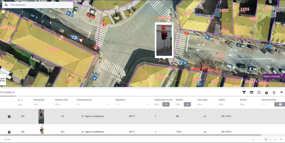
Cadastre of roads, traffic signs and light poles
Municipality of Topola
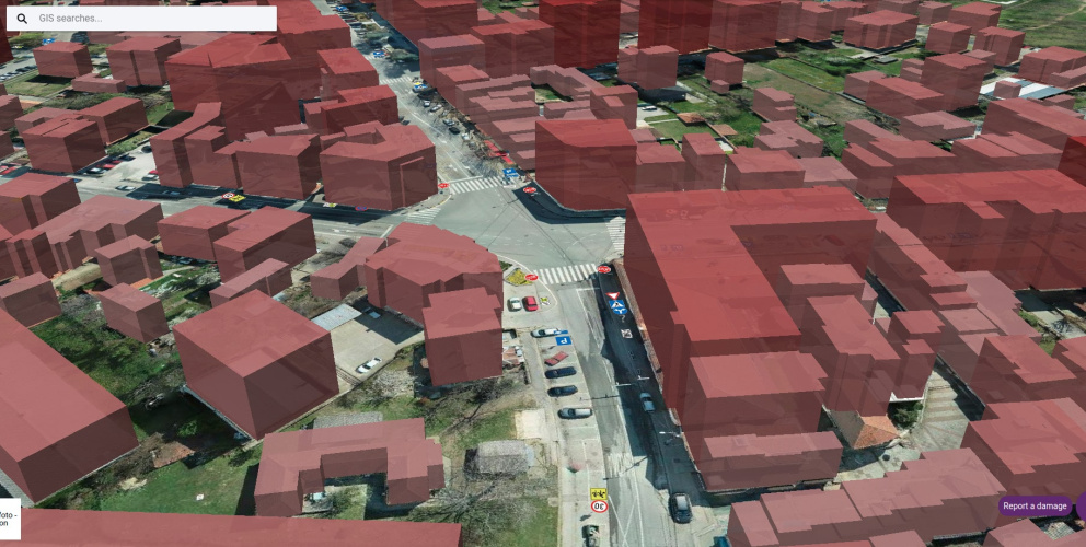
3D
3D extruded buildings (LOD1) using the parcel layer and building heights from photogrammetry
Municipality of Topola
Thematic maps
Thematic maps:
- roads,
- investments,
- communal infrastructure,
- social protection,
- tourism and vineyards
