The page uses cookies to provide necessary website functionality, and improve your user experience. More information
Web GIS
Create maps based on your own data and cloud services
- massive datashow massive data using vector and raster tiles
- datasource librarycreate datasource library from your spatial data or cloud resources
- create mapscreate maps using datasource library
- assign 3D pointassign 3D point clouds to maps
- managemanage your teams
- add searchesadd searches based on datasource library
Web GIS
Datasource Library
- support for a wide range of data source formats
- upload files in various GIS formats
- connect to spatial database servers: PostGIS, Oracle, MSSql, MySQL
- external map services: WMS, OSM, Bing Maps, XYZ tile services …
Web GIS
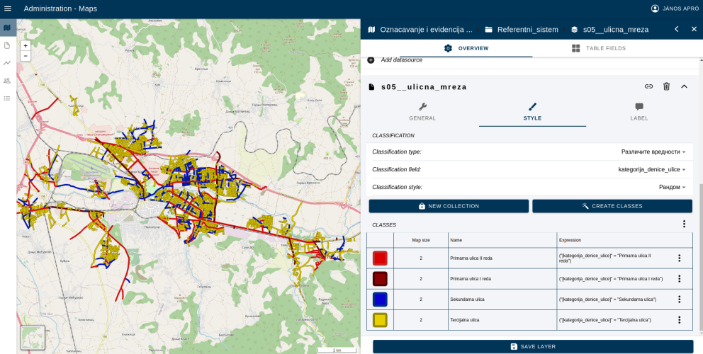
Map Editor
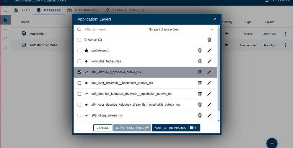
- create layers using datasource library
- symbology editor
- organize layers into folders
- team level view / edit / export permissions
- add point clouds to maps
- share layers between projects